


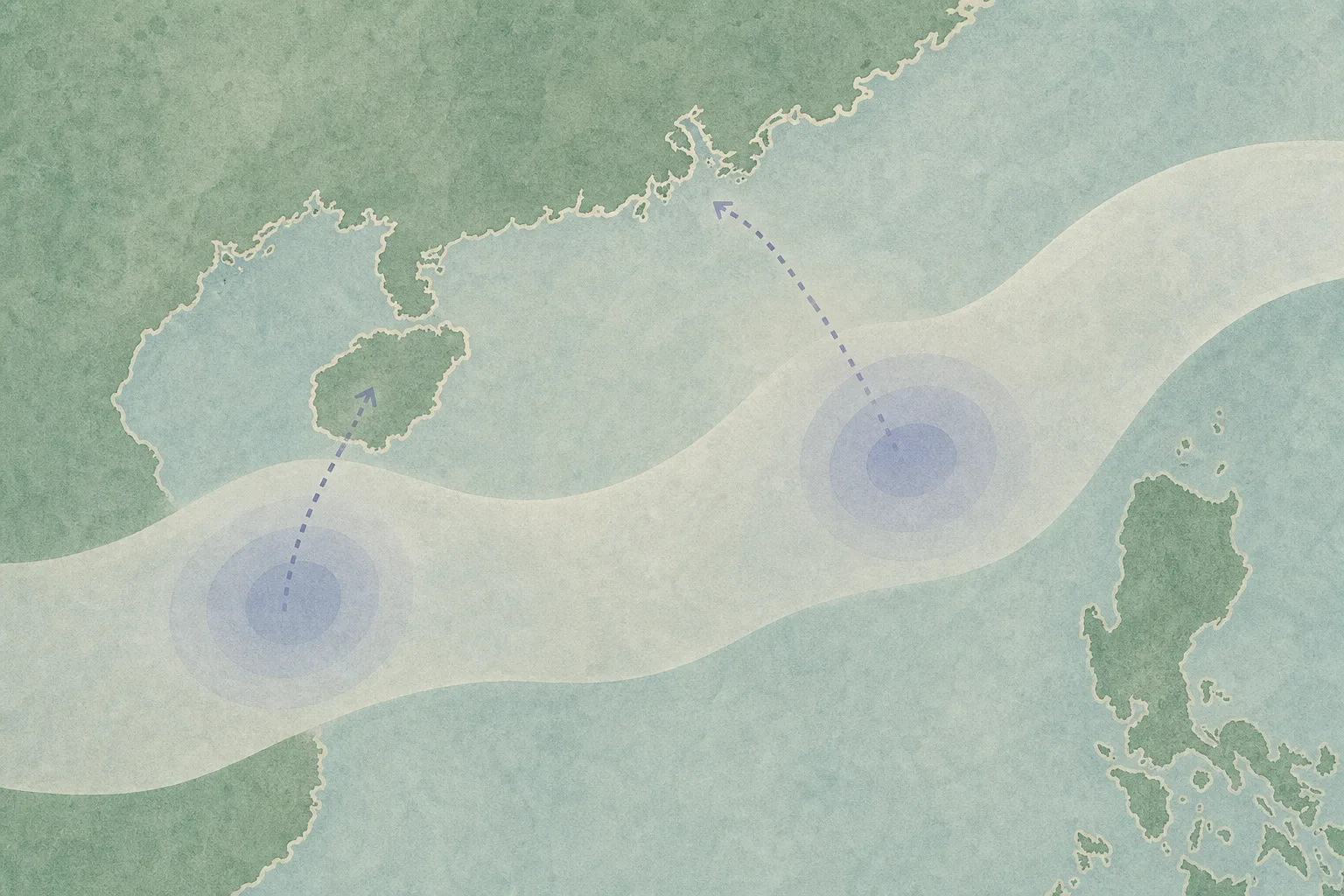
Two potential tropical cyclones could be within 800km of Hong Kong between August 19 and 23, according to an artificial-intelligence model forecast cited by the Hong Kong Observatory. The forecast is not a confirmation that either system will form or affect the city.
The Observatory expects a broad low-pressure trough to affect the northern South China Sea and the waters east of Luzon. It said the trough may contain two low-pressure areas, although their subsequent development and movement remain uncertain.
The low-pressure area over the northern South China Sea is considered more likely to strengthen somewhat and move towards the vicinity of Hainan Island over the next two to three days, around August 19 or 20.
The Observatory’s Windy AI-model forecast indicated that two potential tropical cyclones could be within 800km of Hong Kong from August 19 to 23. Other models cited in the report, including ECMWF AIFS and Fuxi, also forecast two potential tropical cyclones near China’s south-eastern coast on August 20.
It remains uncertain whether the trough will split into two distinct systems or whether either low-pressure area will develop into a tropical cyclone. Their eventual tracks and intensity, as well as any effects on Hong Kong, have not been established.